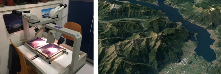
Existing landslide datasets available for Lombardia (e.g. IFFI, GeoIFFI), as well as published or unpublished inventories available for limited areas, has been reviewed. A new inventory has been implemented on satellite imagery, ortho- and stereo-photos, and high-resolution topography, using new “semi-detail” mapping criteria specifically focused on slow, large rock slope instabilities.
Mapping has been made with a spatial accuracy consistent with local-scale study requirements, to be suitable for every practical application on regional, municipality and individual slope scales. Mapped features includes landslide areas and associated structural and morpho-structural features. These are important to characterize landslide geometry and kinematics, and are lacking in institutional databases used for land planning and risk management so far.
Particular attention has also been paid in mapping relationships between deposits and landforms and shallow instabilities (i.e. debris flows, rockfalls, stream erosion/sedimentation) in areas affected by (and neighbouring to) large landslides.
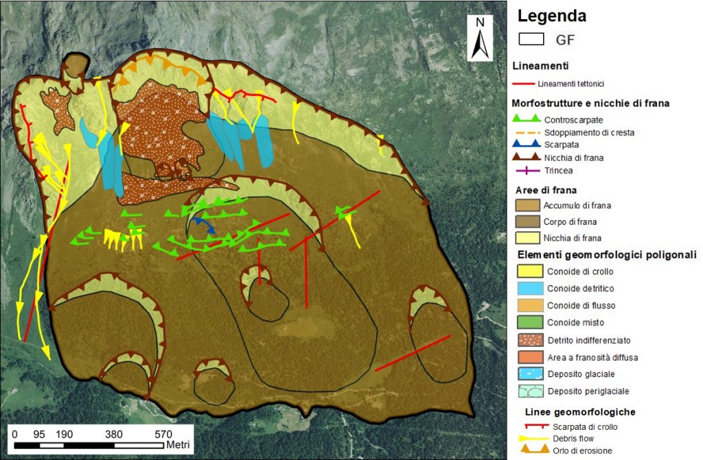
The main goal is to maximize the information content at the local scale to support regional analyses on landslide geometry, kinematics, state and style of activity. This kind of mapping allows the main geomorphological aspects to be displayed for each landslide and associates them with an “identification card”, containing some geomorphological and activity parameters, useful for characterization.
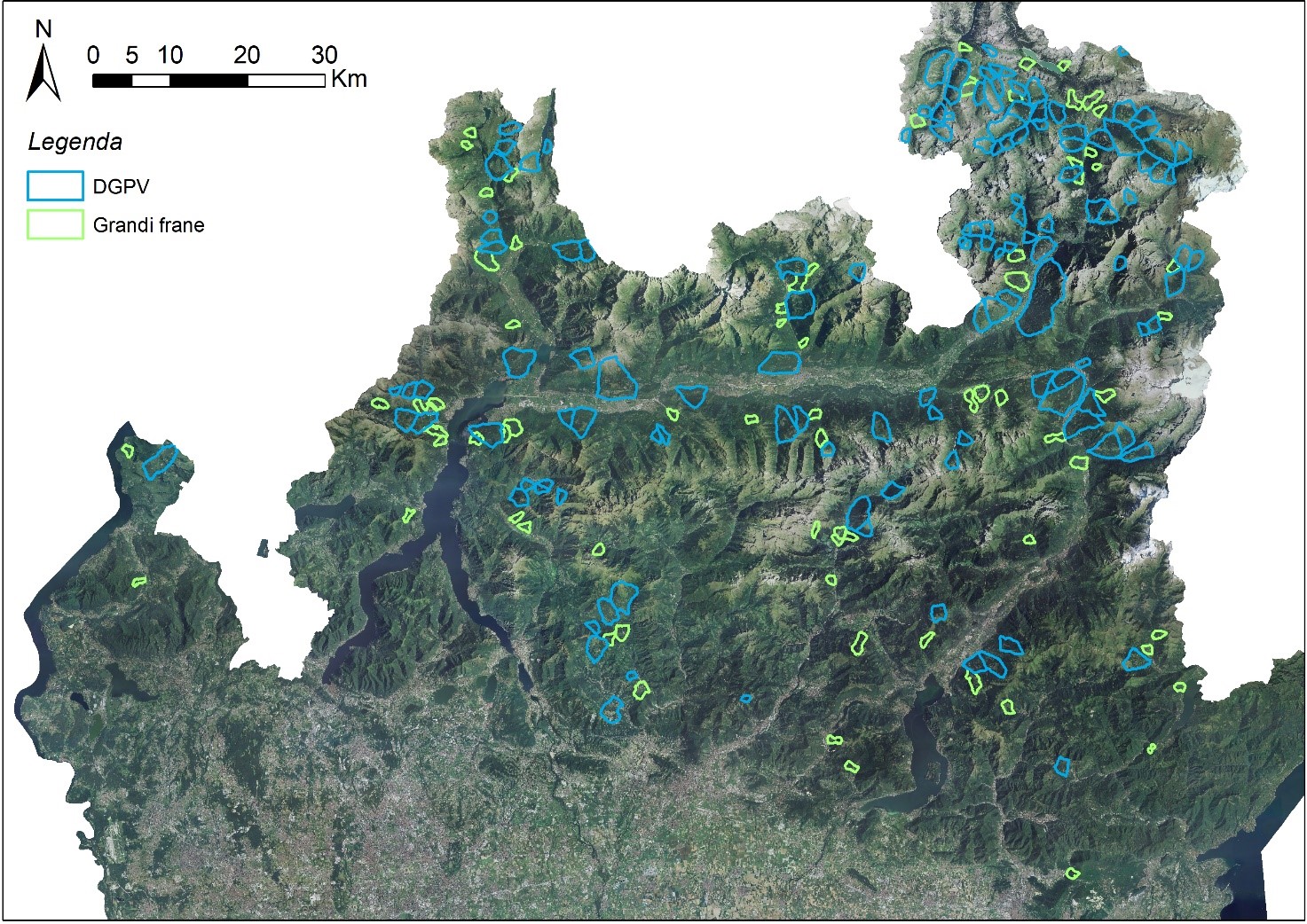
The photointerpretation activity focused on 134 phenomena classified as Deep Seated Gravitational Slope Deformations (DSGSD) and 74 large landslides.
The dataset is organized in layers, in which each element can be interrogated and modified.
Finally, an evaluation of the dataset was carried out, based on the morphometric characteristics and on the density of the elements mapped in each DSGSD and large landslide.